Page name:
Wandering in the South Eastern US [Logged in view]
[RSS] 2006-08-20 05:59:45
|
# of watchers: 2
|
Fans: 0
| D20: 3 |
Wandering in the South Eastern US
UNDER CONSTRUCTION
Your Host [Skydancer]
© 2006 Marion Z. Skydancer
Return to The hitchhiker's guide of the Elftowners
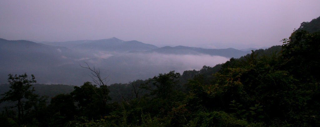
Near Mt. Pisgah on the Blue Ridge Parkway during a rainstorm. August 19, 2006 nearing sunset.

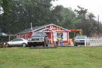
The Biltmore Coffee Traders, on Hendersonville Rd. near the Biltmore Estate in Asheville, NC
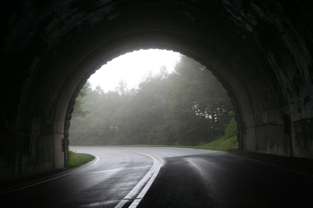
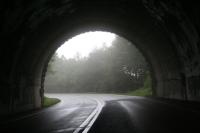
One of the many tunnels through the mountains between Asheville, and Mt. Pisgah on the Blue Ridge Parkway. A little dangerous actually but if one listens carefully for vehicles you can get out of the way before they come ripping through the place.
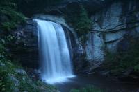
Looking Glass Falls in the Pisgah Forest, near Brevard, NC.
should be right about the center of this map
http://maps.google.com/maps?f=q&hl=en&q=brevard,+NC&ie=UTF8&ll=35.296003,-82.769022&spn=0.014291,0.043259&om=1
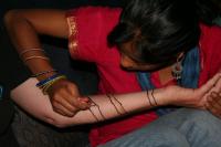
A Henna artist working at Hookah Joe's in Asheville, NC.
 http://maps.google.com/maps?f=q&hl=en&q=50+commerce+st.+Asheville,+NC&ie=UTF8&ll=35.595867,-82.554832&spn=0.014656,0.043259&om=1
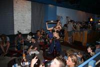
Some of the dancing and merriment at Hookah Joe's on Sunday nights.
And they also have a website and live webcam.
http://www.hookahjoes.com
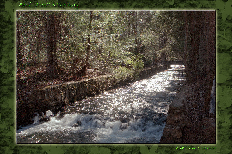
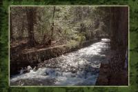
An old waterway in the Bent Creek Wilderness and recreational area near the North Carolina Arboretum.
 http://maps.google.com/maps?f=q&hl=en&q=brevard,+NC&ie=UTF8&om=1&;ll=35.506937,-82.603455&;spn=0.028507,0.086517
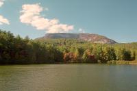
Whiteside Mountain. As best I know, it is supposed to be the highest cliff east of the Mississippi river. I do know it is one of the oldest rocks in the world, and this area is actually part of the Japan tectonic plate.
 http://maps.google.com/maps?f=q&hl=en&q=Cashiers,+NC&ie=UTF8&ll=35.081638,-83.136935&spn=0.01475,0.043259&t=h&om=1
That wavy line of light area is the rock face of the sheer cliffs along the couple of miles of the mountain face.
| Show these comments on your site |
 Stumble!